
Tour of Utah’s Stage 2 past Bryce Canyon should be hot: photo essay
This year the Larry H. Miller Utah stage race passes through notable desert areas in the southern part of the state that will challenge the riders with heat and altitude while offering stunning scenery. These photos show a bit of the type of landscape to expect there, especially on the Tour of Utah Stage 2 roads, which may just win the prize as the most scenic day in this year’s edition of the race.
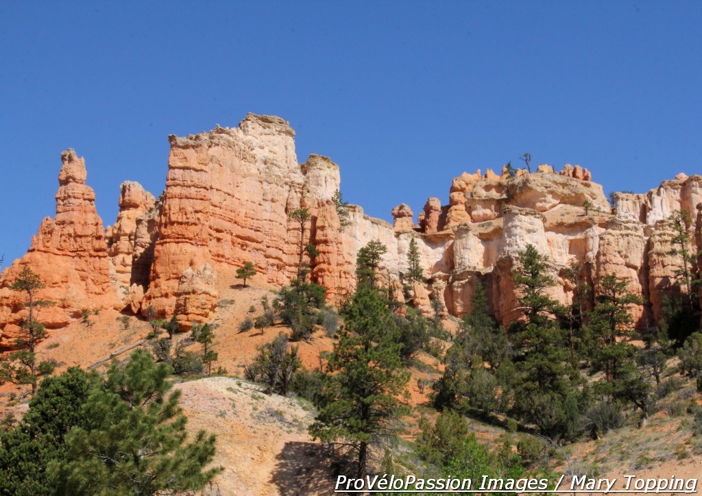
View of north end of Bryce Canyon National Park from Route 12 near Ruby’s Inn
The route swings by Bryce Canyon and through the Grand Staircase Escalante National Monument during the first half of Stage 2. Like this year’s Tour of California finish in Palm Springs in the Sonoran Desert, there’s nowhere to hide from the sun on that stretch of southern Utah pavement.
Average temperatures there reach 89 degrees Fahrenheit (32 Celsius) in August with a record high of 104. So while it doesn’t look like riders will face the 114 degrees of that California finish, team soigneurs will no doubt still prepare ice packs and plenty of water bottles to help the riders avoid the effects of high temperatures and the risk of heat exhaustion – weakness, reticence to eat, nausea, and muscle cramps, among other symptoms.

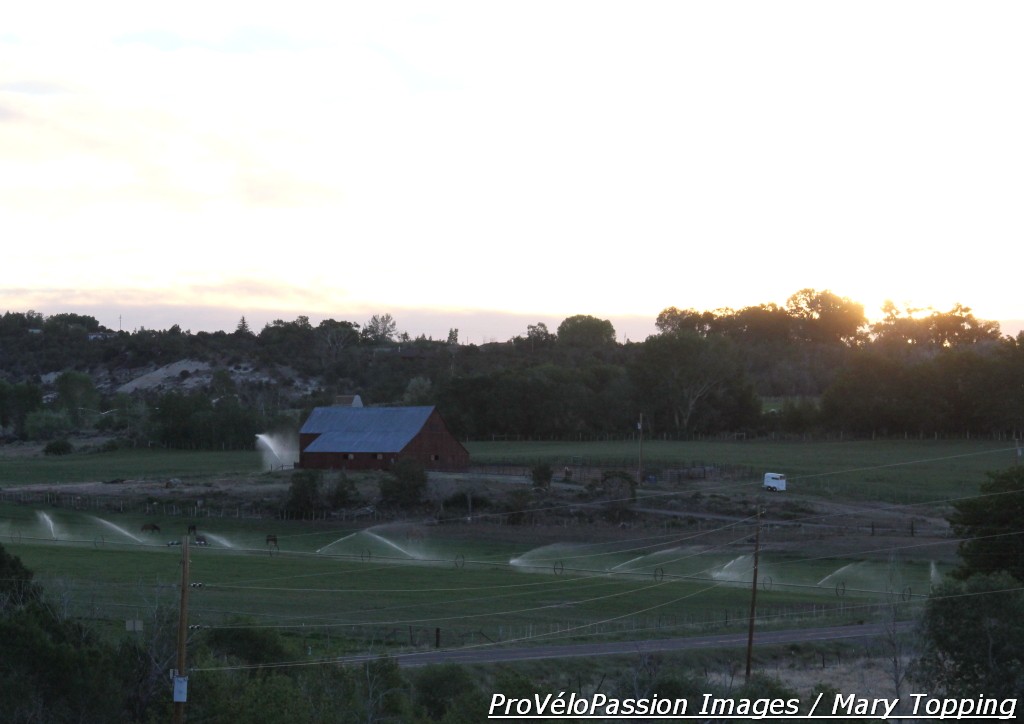
View near the town of Escalante, Utah in Grand Staircase Escalante National Monument. There’s a coffee shop on the hill here.
Although a factor, the Utah Stage 2 heat likely won’t become as significant as in Palm Springs because it should mostly affect the first half of the stage. But it could play a role for any riders off the front fighting for KOM points on the climbs before mile 60 (kilometer 96). Aggressive riding in extremely hot conditions can be risky, as Tejay Van Garderen (BMC) noted after that Tour of California stage when he spoke about following the attack by Jamis Hagens Berman’s Janier Acevedo: “When he attacked, I was scared to go into the red because in this heat sometimes if you go over your limit just a little bit, you just can’t recover.”
Sunrise near Boulder, Utah on Route 12. The green fields and pine trees in Dixie Forest are a big surprise after the desert rock formations.
The second half of the stage will bring the riders shade and cooler temperatures as they enter the coniferous Dixie National Forest, but they’ll have to climb up to 9,600 feet before descending into the Torrey finish and a slightly uphill last two miles.
This Tour of Utah stage also differs from California Stage 2 in elevation. Palm Springs sits at 440 feet (134 meters) whereas Stage 2 Utah elevation doesn’t dip below 5,190 feet (1,582 meters). The effects of altitude are greater above 5,000 feet, but racing at a mile high or so may exacerbate the heat’s impact for some riders.
The stage maps on the Tour of Utah website provide some useful tools. Mouse over the profile and you can see where that coincides with the route on the road map. There’s an option to view grade as well.
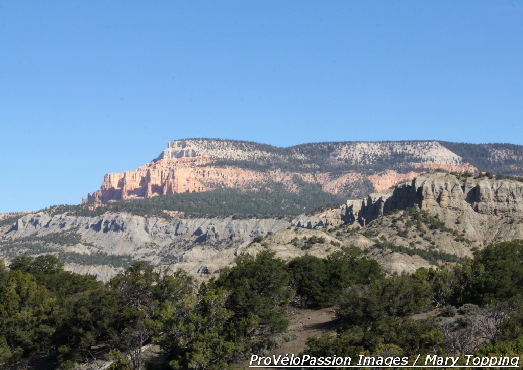
Powell Point reveals the different layers of Utah canyon rock. The top Claron Formation or Pink Cliff layer is prevalent in Bryce Canyon.
